|
|
|
|
|
|
 |
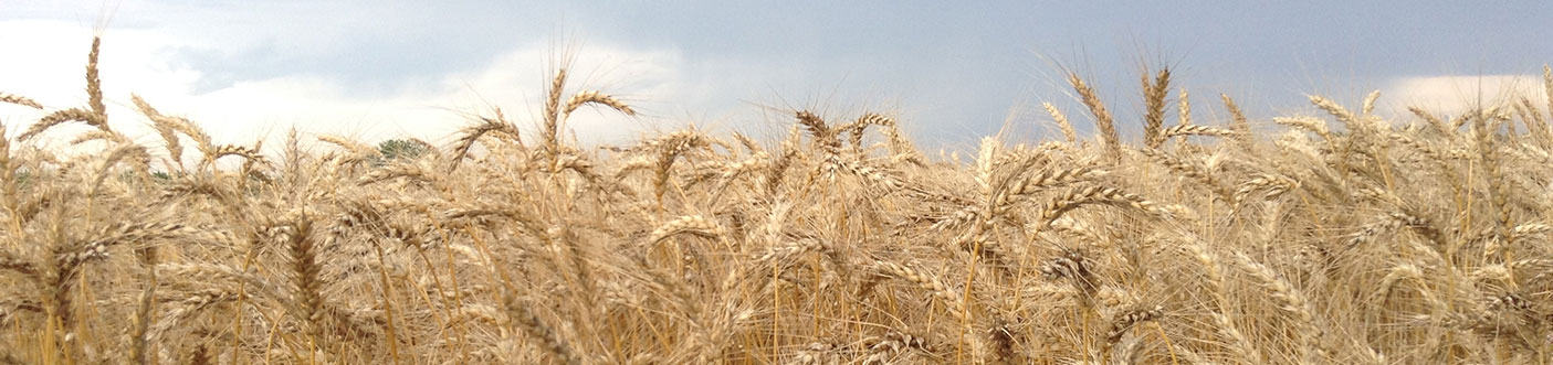
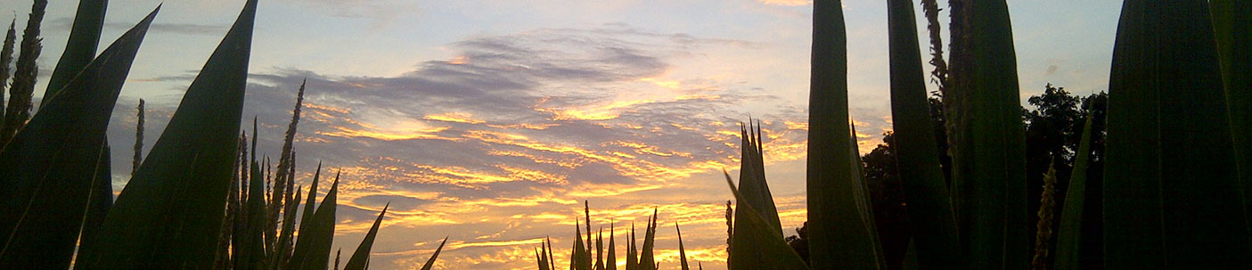
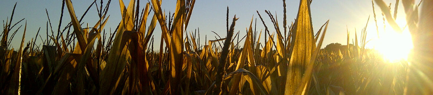
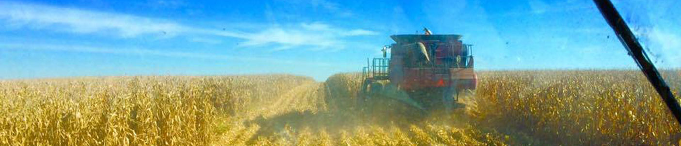
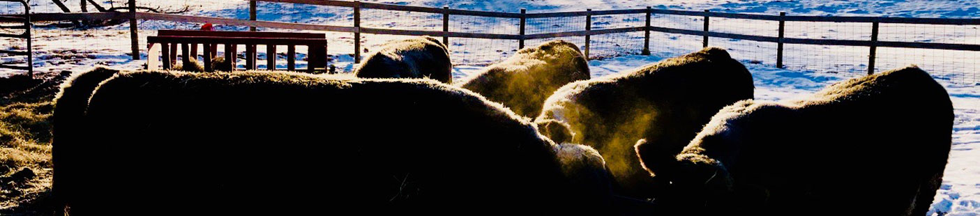
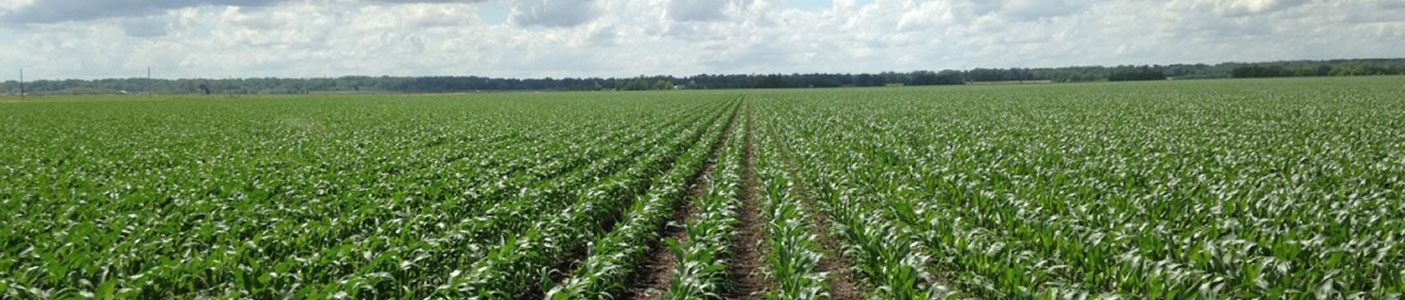
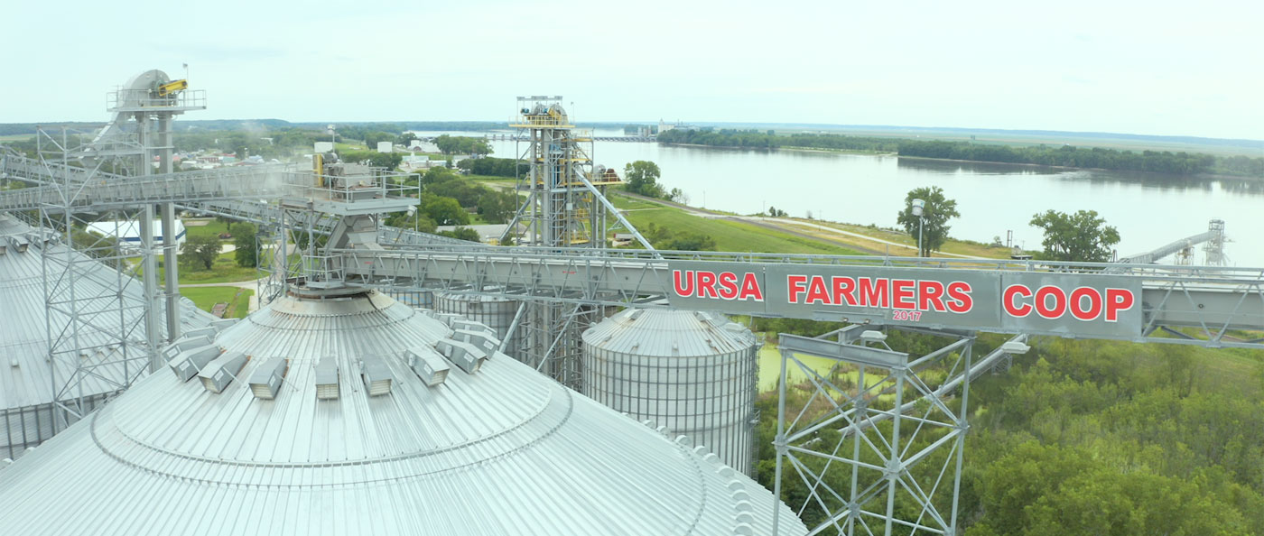
County Forecast for Ursa , IL |
|
|
| | 030500-
Adams IL-Brown IL-Pike IL-Knox MO-Lewis MO-Shelby MO-Marion MO-
Monroe MO-Ralls MO-Pike MO-
Including the cities of Quincy, Mount Sterling, Pittsfield,
Hannibal, and Bowling Green
440 PM CDT Fri May 2 2025
Tonight Mostly cloudy. Showers likely with a chance of thunderstorms this evening, then a chance of showers after midnight. Lows in the upper 40s. North winds 5 to 10 mph. Chance of rain 70 percent.
Saturday Mostly cloudy with a chance of showers. A slight chance of thunderstorms in the afternoon. Cooler with highs in the upper 50s. North winds 10 to 15 mph. Chance of rain 50 percent.
Saturday night A slight chance of thunderstorms in the evening. Mostly cloudy with a slight chance of showers. Lows in the mid 40s. North winds 5 to 10 mph. Chance of rain 20 percent.
Sunday Partly sunny with a 20 percent chance of showers. Highs in the lower 60s. North winds 5 to 10 mph with gusts up to 20 mph.
Sunday night Mostly cloudy. A slight chance of showers after midnight. Lows in the mid 40s. North winds 5 to 10 mph. Chance of rain 20 percent.
Monday Mostly cloudy with a slight chance of showers in the morning, then partly sunny in the afternoon. Highs in the mid 60s. Chance of rain 20 percent.
Monday night and tuesday Partly cloudy. Lows in the upper 40s. Highs in the lower 70s.
Tuesday night Mostly cloudy. A slight chance of showers after midnight. Lows in the mid 50s. Chance of rain 20 percent.
Wednesday Mostly cloudy in the morning, then becoming partly sunny. A 40 percent chance of showers. Highs in the upper 60s.
Wednesday night and thursday Mostly cloudy. A slight chance of showers and thunderstorms. Lows in the lower 50s. Highs in the lower 70s. Chance of rain 20 percent.
Thursday night and friday Partly cloudy. A 20 percent chance of showers. Lows around 50. Highs in the lower 70s. |
|
|
|
Click here to get your local weather emailed to you each day.
|
|